Platts Lane, London, NW3

Overview of Platts Lane
Updated Apr 2024
The street Platts Lane is located in the NW3 postcode district .
It is a residential street comprising 8 addresses, of which 92 are flats and 59 are houses.
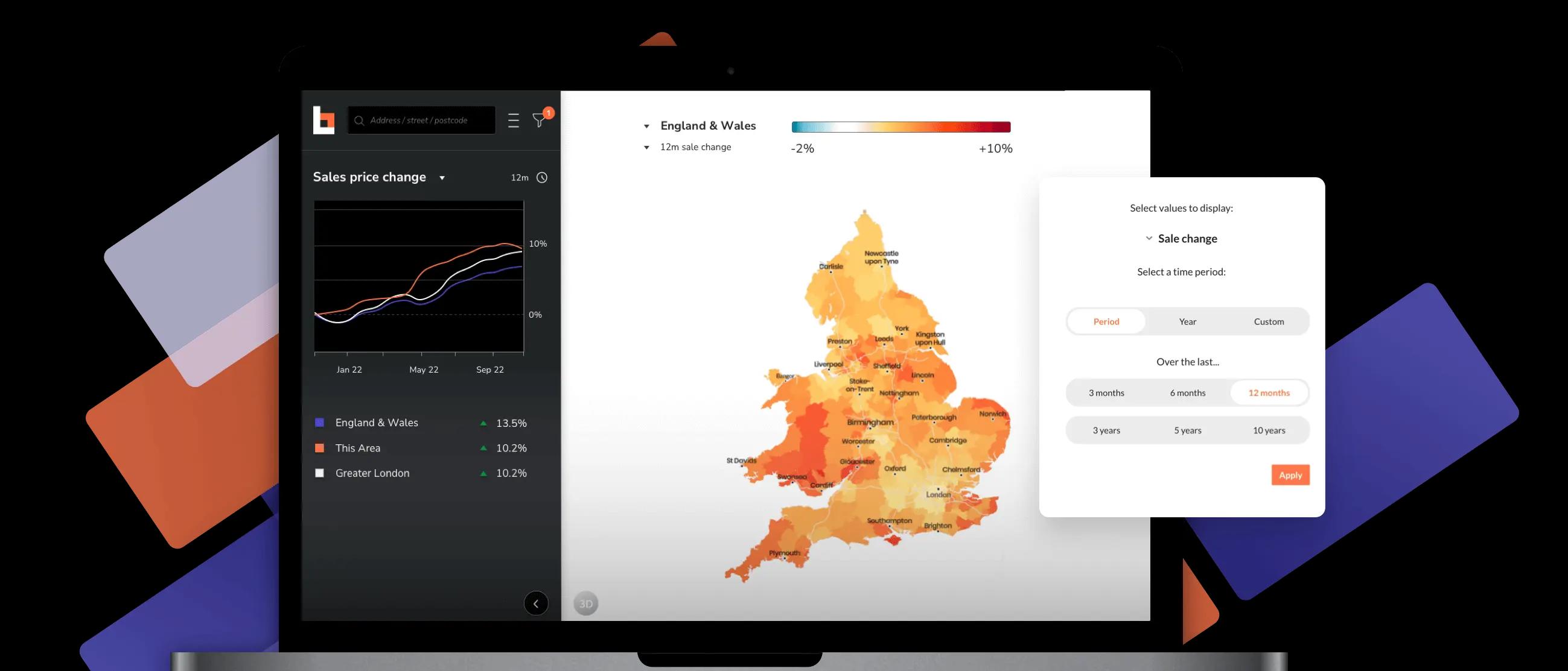
The average house price on Platts Lane is £1,041,928 which has seen an increase of 2.7% in the last 12 months with rental prices increasing 4.7% during the same period.
The most common type of property in Platts Lane, London, NW3 is a period flat built between 1900 and 1929. Platts Lane, London, NW3 has seen 15 sales in the last three years and 3 sales in the last twelve months.
(12 months)
(12 months)
House Prices on Platts Lane, London, NW3
- The average property price is £1,041,928
- Property prices range from £203,423 for a studio leasehold flat of 172 square feet and has no outside space to £4,489,611 for a freehold house, with 5 bedrooms split across 2,207 square feet of gross internal area and has a garden
- Average £/sq ft for properties in Platts Lane, London, NW3 is £1,025/sq ft
- Rental prices range from £819 to £14,562 per month
- Properties achieve a rental yield of between 3.2% and 4.9%

| Minimum | Maximum | |
|---|---|---|
| Sale prices | £203,423 | £4,489,611 |
| Rental prices | £819 pcm | £14,562 pcm |
| Yield | 3.2% | 4.9% |
Platts Lane Buildings and Energy Efficiency
The average internal area for a residential property in Platts Lane is 1,270 sq ft with properties ranging from 172 to 4,090 sq ft. The buildings are generally period properties with the most common Energy Performance Certificate (EPC) rating being D.
The diagram shows the distribution of EPCs within Platts Lane.
Most Recent Sold Prices* on Platts Lane
Flat 1, 18, Platts Lane, LondonNW3 7NS 1,076 square foot 3 bedroom flat with a garden
Flat 3, 12, Platts Lane, LondonNW3 7NR 926 square foot 3 bedroom flat with no outside space
Flat 2, 12, Platts Lane, LondonNW3 7NR 689 square foot 2 bedroom flat with no outside space

Top 3 Most Expensive Sold Prices* on Platts Lane, London, NW3
31, Platts Lane, LondonNW3 7NN 3,789 square foot 6 bedroom house with a garden
103, Platts Lane, LondonNW3 7NH 2,832 square foot 6 bedroom house with a garden
91, Platts Lane, LondonNW3 7NH 3,735 square foot 6 bedroom house with a garden
*Based on the latest published Land Registry sold prices.
Amenities Close to Platts Lane, London, NW3

Schools around Platts Lane, London, NW3
The nearest primary school is St Lukes Church of England School which is 0.1km away and is rated Good by Ofsted. The nearest secondary school is Hampstead School which is 0.9km away and is rated Good by Ofsted.
Below shows the nearest Primary schools to Platts Lane, London, NW3.
Below shows the nearest Secondary schools to Platts Lane, London, NW3.
Public transport options for Platts Lane, London, NW3
The closest station to Platts Lane, London, NW3 is West Hampstead Thameslink station which is 1.2km away.
Below shows the nearest stations to Platts Lane, London, NW3 with their type.
Postcodes on Platts Lane, London, NW3
There are 8 postcodes on Platts Lane. Click on them for more house prices and property data for that postcode.
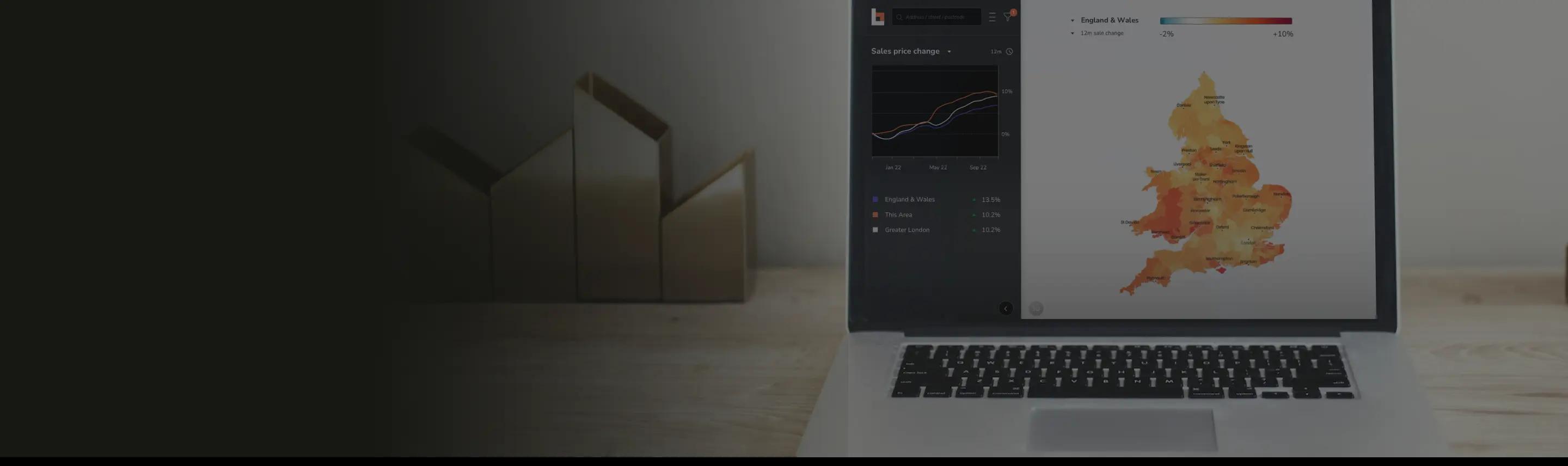
For detailed analysis with colourful heatmaps
Great features
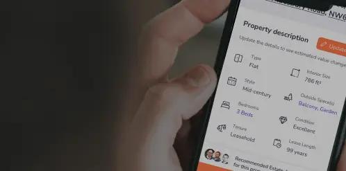
Transparent property data
Using all the available data, we predict key characteristics of 27M+ addresses in the UK.
Market leading price accuracy
We empower everyone in the market with our highly accurate sale and rental estimates for each property.
Easy access
Whether it's finding those streets with your perfect property or understanding the rental pricing across an area, our smart interactive map brings the data to life.